Free Topographic Maps through Google Earth
MapFinder: A USGS Topographic Map Index
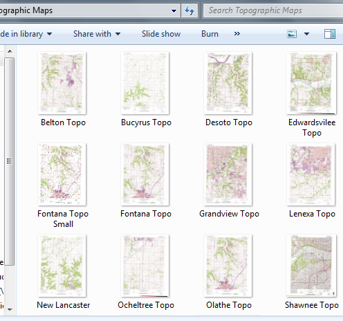
“MapFinder for Google Earth is a “.kmz” application that loads into Google Earth and shows the 7.5 minute quad USGS topographic map boundaries for the lower 48 states. Each boundary has an identification point that givse you information about the USGS topo map. This information includes the map name, scale, year, projection, and contour interval. The most exciting feature of this application is that there is a download link that enables you to download the topographic map for free.”
Here are the steps:
- Download Google Earth at http://earth.google.com/download-earth.html.
- Download the MapFinder file at http://www.usgsquads.com/mapfinder.html.
- Browse to and open the “.kmz” file from within Google Earth. When it opens, you will notice a menu within Google Earth that allows you to choose a state of interest.
- Once you have chosen a state, zoom in on that state and you will see the topographic map boundaries, each with a clickable blue information symbol. Hover over a particular information symbol, and you will see the name of that topo map. Upon clicking, a web page will open, where you will see a link to download a tiff file of that map.
- The tiff file is your free digital copy of the topographic map.
Have fun exploring the US digitally, but I hope these maps give you the knowledge to explore in the real world as well!

It would be nice if Google Earth had a Topo Layer you could add. Perhaps there is and I have just not found it yet.